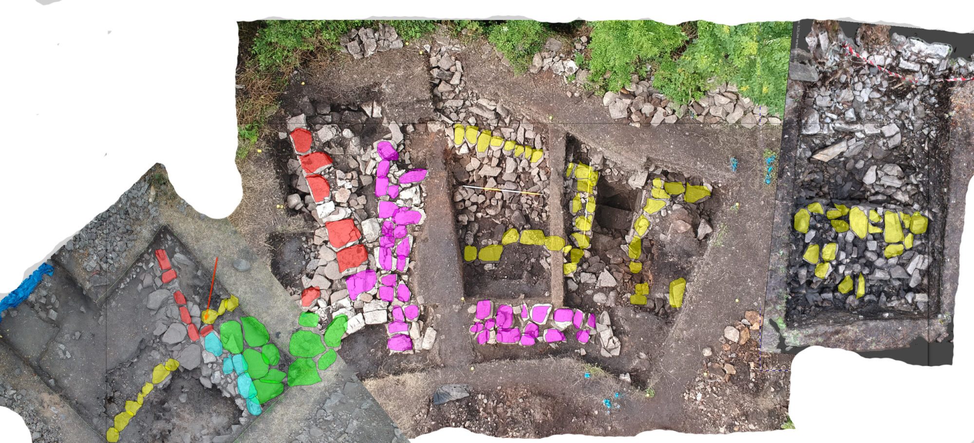
Our archaeological field school has been at the forefront of using newer and developing technologies. At Kilteasheen we used 3D scanning using a Trimble 3D scanner to create topograhical landscapes. Surveying was completed with traditional total stations and high accuracy TrImble handheld GPS systems. We are pleased to collaborate with NUI-Galway for use of a number of their field surveying tools.
Students are trained and use geophysical surveying tools such as magnetic susceptibility meters, electrical resistance meters, and ground penetrating radar.
The project uses a TAR-3 Electrical Resistivity Probe made by RM Frobisher, and will be using a Frobisher gradiometer in 2018.

